Measure and analyse the earth's surface and above-ground features with high-accuracy elevation data.
Vendor
Hexagon
Company Website

Overview
Hexagon's Elevation Data provides high-accuracy elevation information essential for 3D visualization and spatial analysis. This data is sourced from two primary methods: aerial imagery and LiDAR (Light Detection and Ranging). LiDAR-derived models offer superior vertical positional accuracy, while imagery-derived models are more cost-effective and typically feature higher point densities, enhanced canopy modeling, and improved building material identification and classification accuracy. Imagery-derived elevation data is available across North America and Europe, whereas LiDAR-derived data is primarily offered in urban areas through Hexagon's Metro HD city program.
Features and Capabilities
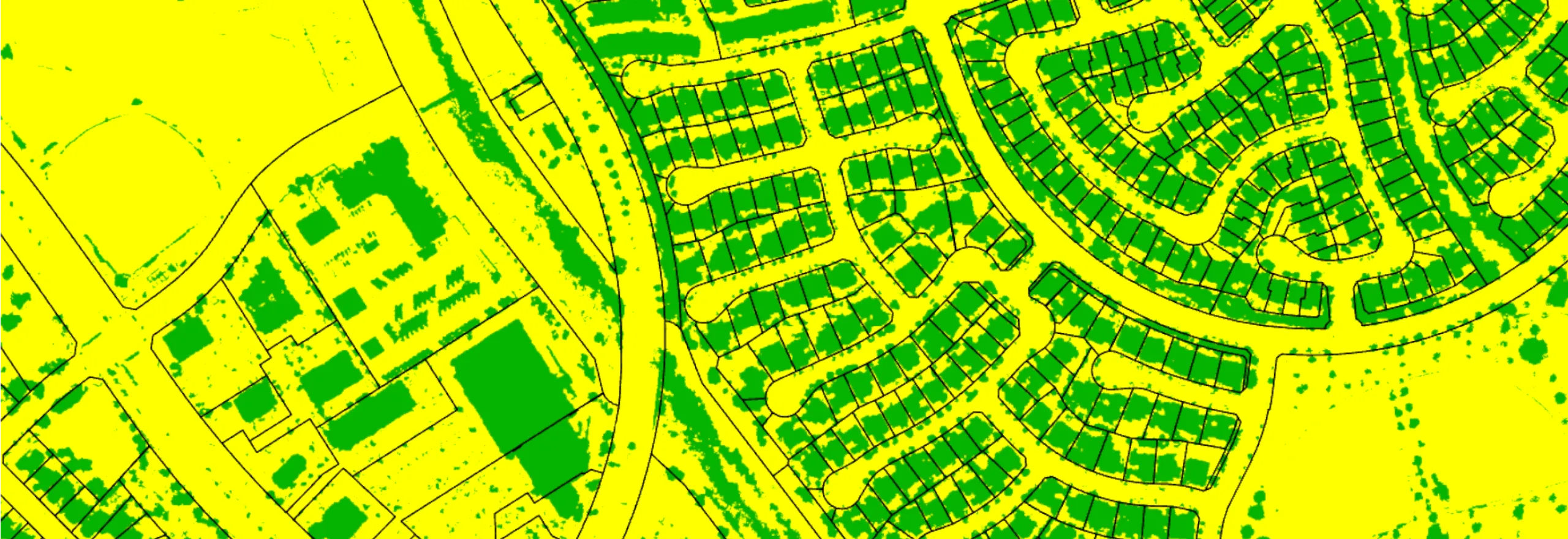
- Digital Surface Model (DSM):
- Provides elevation data of both built-up and natural features.
- Offers countrywide photogrammetric DSMs of North America and Europe at multiple resolutions and point densities.
- Photogrammetry-derived elevation values represent the highest elevation for each pixel.
- LiDAR-derived DSMs are generated using first return point data.
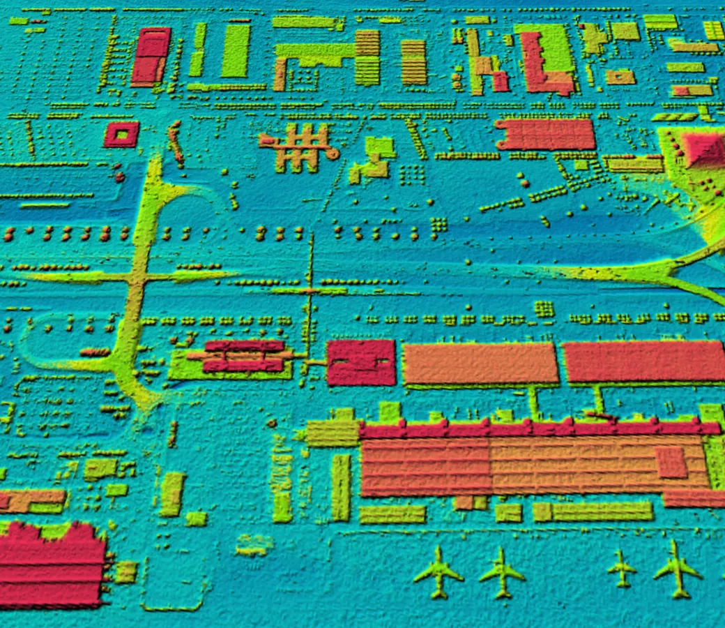
- Digital Elevation Model (DEM):
- Provides direct and interpolated heights of the earth's topographic surface, excluding above-ground features such as buildings and vegetation.
- LiDAR-derived DEMs are produced using classified ground data returns.
- Photogrammetric DEMs rely upon automated grid interpolation to remove surface features in the data.
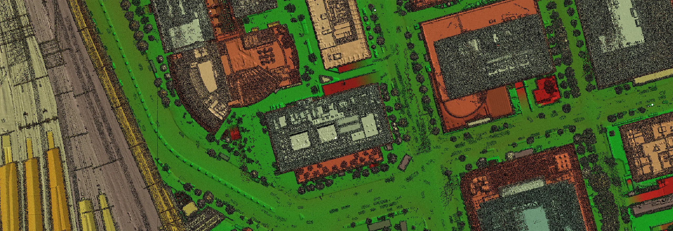
- LiDAR Point Cloud:
- Enables 3D modeling by providing high-accuracy spatial data of physical objects and terrain through dense point measurements.
- Point clouds are encoded with spectral information from corresponding aerial imagery.
- Includes attributes such as intensity, return number, and scan angle.