MapAirtable
Geocode addresses or coordinates on a map in Airtable with the Map app.
Vendor
Airtable
Company Website
Product details
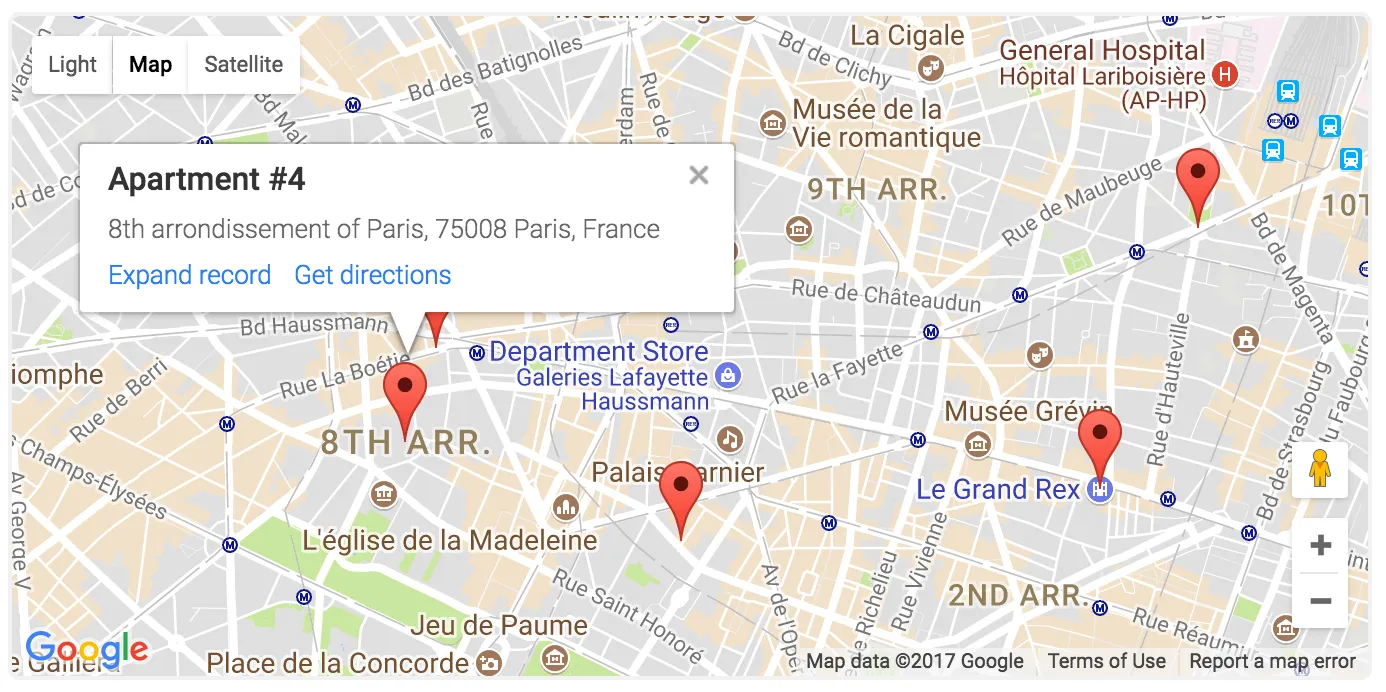
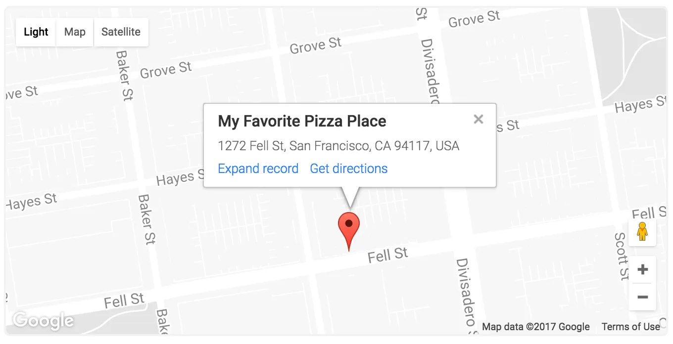
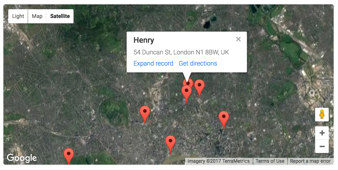
The Map app for Airtable allows users to geocode addresses or coordinates and visualize them on a map, providing a streamlined way to manage and analyze location-based data within their Airtable base.
Key Features
Geocoding Enables users to convert addresses or coordinates into map locations.
- Supports various geocoding services
- Accurate location mapping
Interactive Maps Allows users to visualize and interact with map data.
- Customizable map views
- Integration with other Airtable apps
Integration with Airtable Seamlessly integrates with Airtable bases.
- Access to Airtable data
- Real-time updates
Benefits
Improved Data Analysis Enhances the ability to understand and interpret location-based data.
- Saves time
- Reduces complexity
Enhanced Workflow Efficiency Streamlines the process of managing and analyzing geospatial data.
- Boosts productivity
- Facilitates decision-making
Find more products by industry
Professional ServicesInformation & CommunicationAdmin & Support ServicesView all